
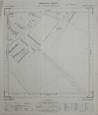
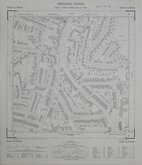
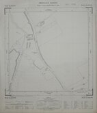
Six inch and 1:10000
Fifty inch and 1:1250
( Page 5 of 7 )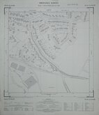
Ware Herts 1965
Leverstock Green Herts 1967
Leverstock Green Herts 1967
Hemel Hempstead Herts 1967
Cheshunt Herts 1967
Leverstock Green Herts 1967
Cheshunt Herts 1967
Baldock Herts 1967


49x57 cm
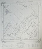
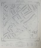
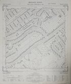
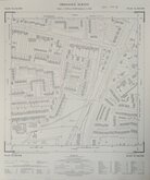
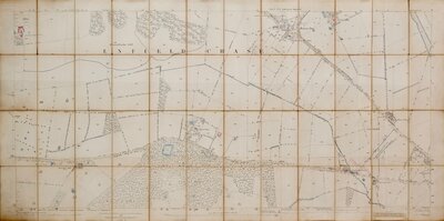
ORDNANCE SURVEY PLAN TL 1928 SW
Scale: 1:1250
Made and published by the Director General of the Ordnance Survey, Southampton.
1971
Showing: Stevenage Road (A602), Whithill Road, Sunnyside Road, Sunnyside, Maytrees, Broadmead, Alpine Close, Folly Path, Blackhorse Lane, Foster Drive, Francis Close, Matthew Gate, The Paddock, The Willows.
Very good condition.
Quick Links

Twenty five inch and 1:2500

Other Large Scales
×