
Other Large Scales
Fifty inch and 1:1250
( Page 1 of 7 )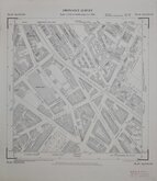
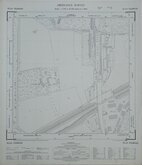
Westminster Pimlico London 1950
Tottenham Middx 1955
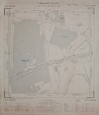
West Herts Golf Club 1960
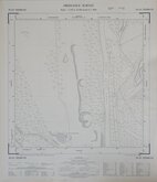
Rickmansworth Herts 1960
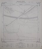
Croxley Green Herts 1960
Watford Herts 1960
Croxley Green Herts 1960
Edmonton Middx 1960

£15 Westminster Pimlico London
Ref: TQ2978NW
Add to
basket
Thanks,Your Product Has Been Added To Basket

49x57 cm
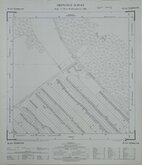
ORDNANCE SURVEY PLAN TQ 2978 NW
Scale: 1:1250 or 50.688 Inches to 1 Mile
Made and published by the Director General of the Ordnance Survey, Chessington, Surrey, 1950.
Showing: Vauxhall Bridge Road, Frances Street, Rochester Row, Vincent Square, Bloomberg Street, Udall Street, Hatherley Street, Walcott Street, Vane Street, Willow Place, Greencoat Place, Stillington Street, Greencoat Place, Emery Hill Street, Windsor Place, Kings Scholars Passage, Carlisle Place, Morpeth Terrace, Gillingham Street, Warwick Way, Churton Street, Charlwood Street, Thorndike Street, Lillington Street, Tachbrook Street, Charlwood Place, Churton Place, Denbigh Street, Belgrave Road, Warwick Square, Clarendon Street, Warwick Place Eccleston Square Mews, Guildhouse Street, Longmoore Street.
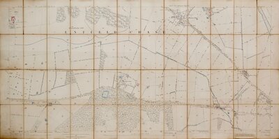
Ink stamp for Norris & Duvall Land Agents & Auctioneers, Hertford. Very good condition.
Quick Links


Six inch and 1:10000
Twenty five inch and 1:2500
×