
Twenty five inch and 1:2500
Fifty inch and 1:1250
( Page 3 of 7 )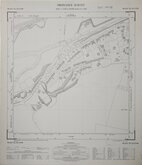
Ware Herts 1963
Ware Herts 1963
Ware Herts 1963
Ware Herts 1963
Ware Herts 1963
Kings Langley Herts 1964
Ware Herts 1964
Ware Herts 1964


49x57 cm
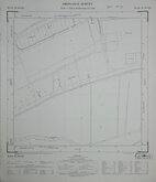
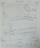
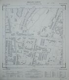
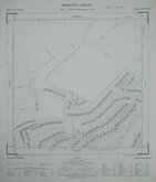
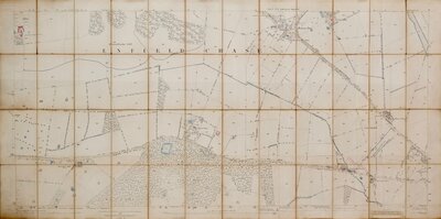
ORDNANCE SURVEY PLAN TL 0806 NW
Scale: 1:1250 or 50.688 inches to 1 Mile
Surveyed September 1966
Made and published by the Director General of the Ordnance Survey, Chessington, Surrey, 1967.
Includes roads: Leverstock Green Road, Bedmond Road, Halmes Road, Coniston Close, Derwent Road, Crossfell Road, Green Lane, Hartsbourne Way, Chelsing Rise, Burleigh Road, Poynders Hill.
Very good condition.
Quick Links

Other Large Scales

Six inch and 1:10000
×