
Scotland Maps
Cumberland Maps
( Page 1 of 6 )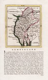
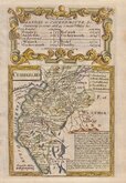
John Seller 1694 [1784]
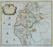
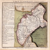
Robert Morden 1695 [1722]
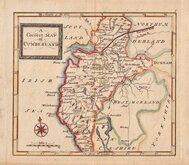
John Cary 1709 [1805]
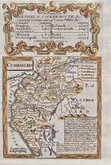
Emanuel Bowen 1720
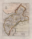
Emanuel Bowen 1720
Thomas Badeslade 1742
Thomas Read 1744 [1753]
Thomas Hutchinson 1748


47x60 cm
PAIR OF HAND COLOURED LITHOGRAPH PRINTED MAPS
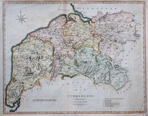
CUMBERLAND AND WESTMORLAND REVISED ACCORDING TO THE LATEST ORDNANCE SURVEY Divided into 5 mile squares.
Pair of hand coloured lithograph printed maps from Bacon's New Large Scale Atlas of the British Isles G W Bacon, London 1884.
These are not a true matching pair with some differences in the colours.
Bottom sheet has splits top and bottom at centrefold affecting map area.
Each sheet measures approx 47x30cm.
Quick Links


Westmorland Maps

Northumberland Maps
×