
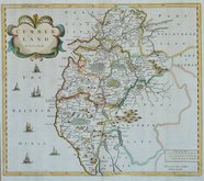
Westmorland Maps
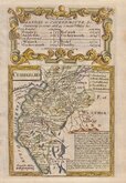
Cumberland Maps
( Page 1 of 6 )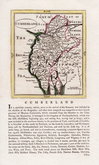
John Seller 1694 [1784]
Robert Morden 1695 [1722]
John Cary 1709 [1805]
Emanuel Bowen 1720
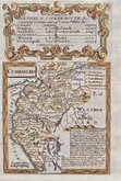
Emanuel Bowen 1720
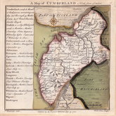
Thomas Badeslade 1742
Thomas Read 1744 [1753]
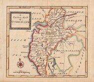
Thomas Hutchinson 1748


24x32 cm
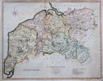
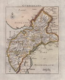
FIRST SERIES OF COLOUR PRINTED COUNTY MAPS
CUMBERLAND
W. Hughes.
LONDON. VIRTUE & CO.
First published in The National Gazetteer; a topographical dictionary of the British Islands. Compiled from the latest and best sources, and illustrated with a complete county atlas, and numerous maps. Virtue & Co., 1863-1868. This was a publication issued in parts, the complete work being issued from 1868. The latest and best sources quoted were the maps produced by the Ordnance Survey (Old series One Inch). The plates were never used for direct intaglio printing and the lithographic print has been overprinted in colours, the first series of county maps to be colour printed.
The work was re-issued a number of times under various titles until 1886.
This example of the map of Cumberland was published c.1870. Imprint tight to paper edge.
Quick Links


Northumberland Maps

Scotland Maps
×