
Northumberland Maps
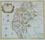
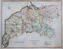
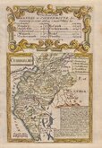
Cumberland Maps
( Page 1 of 6 )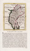
John Seller 1694 [1784]
Robert Morden 1695 [1722]
John Cary 1709 [1805]
Emanuel Bowen 1720
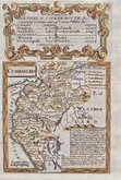
Emanuel Bowen 1720
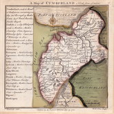
Thomas Badeslade 1742
Thomas Read 1744 [1753]
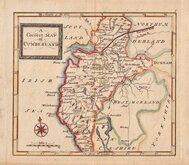
Thomas Hutchinson 1748


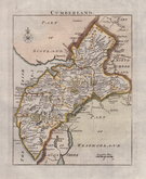
27x21 cm
"QUARTO CARY"
CUMBERLAND
London: Publish'd Jany 1st. 1793, by J.Cary, Engraver & Mapseller Strand.
Copper engraving by John Cary. This series of maps, commonly known as his "quarto" series, were published in Cary's New and Correct English Atlas and were justifiably popular, running to many editions from 1787 until about 1804. Re-engraved plates extended the life of the series from 1808 to 1843 and lithographic transfers from the plates by later publishers continued publication until about 1876 - a life of nearly 90 years.
This example of the map of Cumberland is the sixth state of the first plate published in Cary's New and Correct English Atlas of 1793 Original hand colour. Small left margin.
Quick Links


Westmorland Maps

Scotland Maps
×