
Northumberland Maps
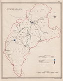
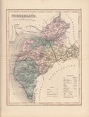
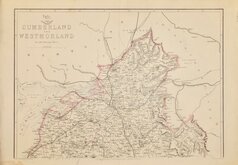
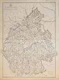
Cumberland Maps
( Page 5 of 6 )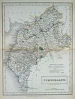
Sidney Hall 1833 [1852]
Roger Creighton 1835
Josiah Neele 1835
Thomas Moule 1837 [1845]
J. & C.Walker 1837 [1850]
Joshua Archer 1842 [1858]
Edward Weller 1862
Edward Weller 1862 [1863]


20x26 cm
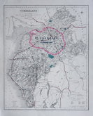
SHOWING PARLIAMENTARY DIVISIONS.
CUMBERLAND
Drawn by R. Creighton. | Engraved by J.& C.Walker.
Copper engraving by the firm of J & C Walker from a drawing by R. Creighton and printed by lithographic transfer for publication in A Topographical dictionary of England… published by Samuel Lewis and Co. from 1835-1840. The plates were not used for direct intaglio printing. The purpose of the map was to indicate the new parliamentary divisions and other electoral information; the otherwise shows only the county boundary, principal towns and main roads.
Good example with original outline hand colour.
Quick Links


Westmorland Maps

Scotland Maps
×