
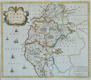
Westmorland Maps
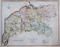
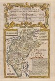
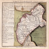
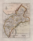
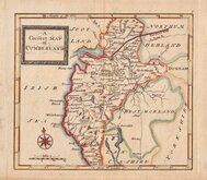
Cumberland Maps
( Page 1 of 6 )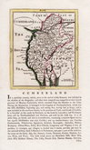
John Seller 1694 [1784]
Robert Morden 1695 [1722]
John Cary 1709 [1805]
Emanuel Bowen 1720
Emanuel Bowen 1720
Thomas Badeslade 1742
Thomas Read 1744 [1753]
Thomas Hutchinson 1748


19x24 cm
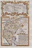
STEEL ENGRAVING. VIGNETTE OF CARLISLE.
CUMBERLAND
Published by Archd. Fullarton & Co. Glasgow.
Steel engraving by Robert Scott first published in Bell's New and Comprehensive Gazetteer in 1833. The text for the gazetteer was largely copied from Lewis' Topographical Dictionary of 1831 and in 1839 Lewis obtained an injunction against Bell for plagiarism and the work was withdrawn. Archibald Fullarton, the publisher ofBell's Gazetteer republished the maps with new text in The Parliamentary Gazetteer from 1840 until 1849. The engraving work was shared between Gray & Son, James Neele and Robert Scott with most maps copied from those by Sidney Hall in an earlier topographical dictionary, John Gorton's Topographical Dictionary of Great Britain and Ireland published in 1831.
Robert Scott (1771-1841), born at Lanark 13 Nov 1771, the son of Robert Scott, a skinner and his wife Grizzell. He was apprenticed to Edinburgh engraver Alexander Robertson. He had premises in Edinburgh from 1797 to 1840, his Parliament Square premises occupied from 1810, were destroyed by fire in 1824. He died in January 1841 reputed to be the finest Scottish engraver of his time. Two of his sons, David Scott (1806-1849) and William Bell Scott (1811-1890) became notable artists.
Includes vignette of Carlisle from the North East.
This example includes the Carlisle to Newcastle and Carlisle to Maryport railways and is from the 1840 edition. Later hand colour.
Quick Links


Northumberland Maps

Scotland Maps
×