
Northumberland Maps
Cumberland Maps
( Page 5 of 6 )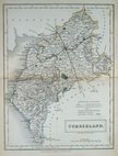
Sidney Hall 1833 [1852]
Roger Creighton 1835
Josiah Neele 1835
Thomas Moule 1837 [1845]
J. & C.Walker 1837 [1850]
Joshua Archer 1842 [1858]
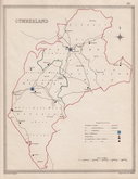
Edward Weller 1862
Edward Weller 1862 [1863]


16x20 cm
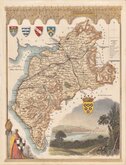
ROCQUE EDITION.
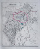
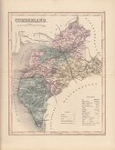
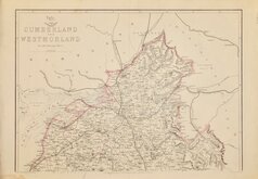
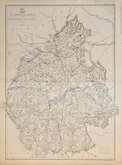
CUMBERLAND.
Copper engraving from a series of maps first published in parts by Thomas Read from November 1743. The first completed volume appearing in 1746 entitled The English Traveller...
The engraver of this series is not known but the maps are based closely on Herman Moll's maps of 1724.
Thomas Read was a printer with addresses in Fleet Street working from about 1726 to 1753. The plates passed to John Rocque who pulished them in The small British Atlas from 1753 and, following his death in 1762, continued by his widow until 1764. Their final appearance was in England Displayed issued by several publishers in 1769.
This fine hand coloured example of the map of Cumberland was issued in The Small British Atlas by John Roque in 1753. This state can be identified by the incompletely erased plate number 7 top right.
Quick Links


Westmorland Maps

Scotland Maps
×