
Berkshire Prints
Berkshire Maps
( Page 4 of 4 )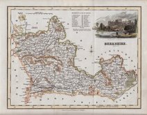
Robert Scott 1833
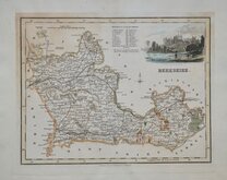
Robert Scott 1833 [1840]
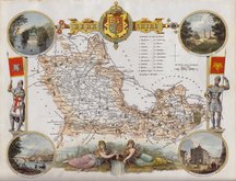
Thomas Moule 1836 [1842]
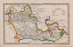
James Pigot 1839 [1841]
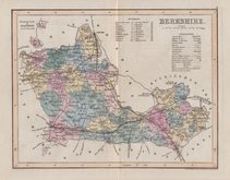
Joshua Archer 1842 [1845]
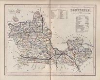
Joshua Archer 1842 [1848]
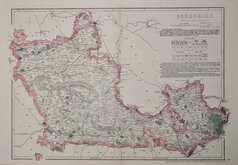
Benjamin Rees Davies 1863 [1867]
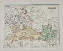
Francis Sidney Weller 1894
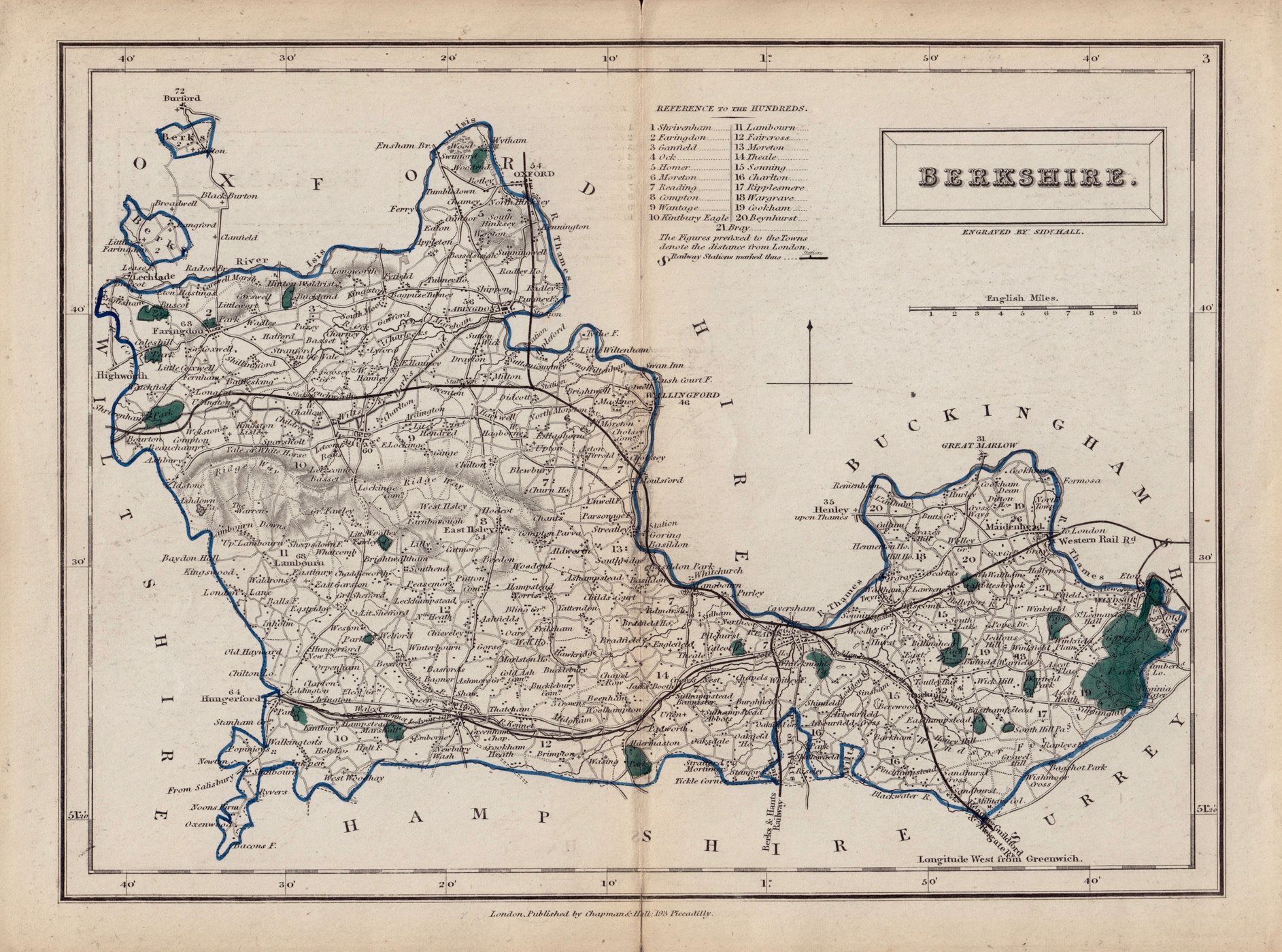

25x20 cm
LATER ISSUE. ORIGINAL HAND COLOUR.
BERKSHIRE.
ENGRAVED BY SIDY.HALL.
London, Published by Chapman & Hall, 193 Piccadilly.
This series of maps first appeared in Gorton's Topographical Dictionary issued in parts over a three year period from 1830, the complete work not published again after 1833. The maps were then issued in A New British Atlas…, Sidney Hall's British Atlas…, A Travelling County Atlas… and other variations on the title, from 1834 until c.1888. It's popularity due in part to Hall's continuous updating of the plates to include the latest railways. The maps were intaglio printed until c.1858 and then by lithographic transfer.
This example, in original outline hand colour, is from the 1852 edition of A Travelling County Atlas: with All the Railroads Accurately Laid Down and Coloured.
Short splits at centrefold outside plate edge top and bottom repaired with archival tape verso.
Quick Links
Road Maps
Bedfordshire Maps
×