
Whole of Europe
Belgium & Luxembourg
( Page 1 of 3 )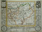
Belgium Bodenehr 1704
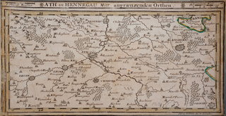
Ath Belgium by Bodenehr 1716
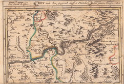
Huy Belgium by Bodenehr 1716
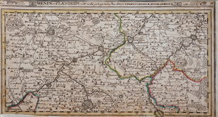
Menin Belgium by Bodenehr 1716
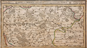
Mons Belgium by Bodenehr 1716

Namur Belgium by Bodenehr 1716
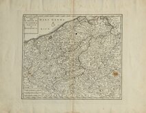
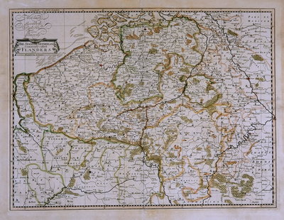
Flanders Isaak Tirion 1740
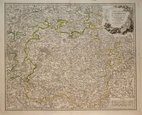
Luxembourg. De Vaugondy 1753


35x26 cm
BELGIUM.
The Illustrations by J. Marchant, & Engraved by J.B. Allen. | The Map Drawn & Engraved by J. Rapkin.
J & F TALLIS, LONDON, EDINBURGH & DUBLN.
This series of finely engraved maps were first published in parts from the end of the 1840's and issued as a complete volume, The Illustrated Atlas in 1851. The work was re-issued a number of times until about 1865 and the maps were then used by Montgomery Martin, the author of the text in the Illustrated Atlas, in his British Colonies from 1854. The final appearance of the maps, with vignettes erased from the plate, was in geographical dictionaries and encyclopaedias until about 1880.
Vignettes of Antwerp Cathedral, The Plains of Waterloo, Altar of St Gudule and Belgium armorial.
Small top margin with loss to decorative element above title otherwise a good example from the first edition of 1851 in original hand coloiur. No centrefold. Includes original page of text dexcription by Montgomery Martin.
Quick Links

Germany
Holland
×