
Yorkshire West Riding
Yorkshire North Riding
( Page 1 of 3 )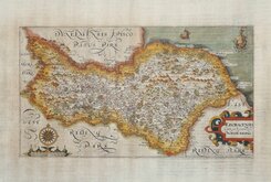
William Hole 1607
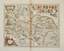
Jan Jansson 1646
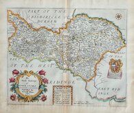
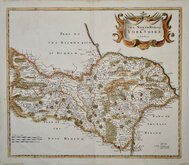
Richard Blome North Riding 1673
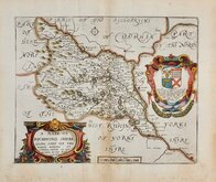
Richard Blome Richmondshire 1673
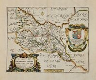
Richard Blome Richmondshire 1673
Robert Morden 1695 [1722]
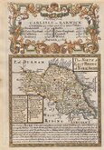
Emanuel Bowen 1720
Emanuel Bowen 1763 [1777]

£65
Joseph Ellis Sayer & Bowles Ref: 6009.35
Add to
basket
Thanks,Your Product Has Been Added To Basket

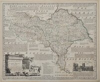
24x20 cm
DECORATIVE PASTORAL CARTOUCHE
A Modern MAP of the NORTH RIDING of YORKSHIRE, Drawn from the latest Surveys; Corrected & Improved by the best Authorities.
J. Ellis sculpt.
Printed for Robt. Sayer in Fleet Street & Carington Bowles in St. Pauls Church yard.
First published in The New English Atlas… in 1765, the atlas became a considerable success with many editions, under the title Ellis's English Atlas, being published over a period of thirty years from the offices of Robert Sayer and Carington Bowles. Its popularity was due to it's cartographical clarity while being of pocket size making it useful for the traveller as well as everyday use in academies and the home. Most of the maps were copied from those by Thomas Kitchin in a rival publication of similar pocket size by Robert Dodsley England Illustrated first published in 1763 but which not achieve the same commercial success.
This example is from the 1773 edition of Ellis's English Atlas.
Neat hand colour.
Ref. Whitaker Printed Maps of Yorkshire [243]
Quick Links


Whole of Yorkshire

Yorkshire East Riding
×