
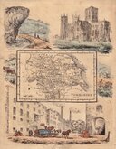
Yorkshire North Riding
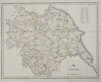
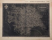
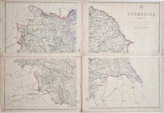
Whole of Yorkshire
( Page 3 of 4 )
Henry Teesdale Yorkshire 1828
Roger Creighton 1831 [c.1840]
Selina Hall 1833
Joshua Archer 1842 [1848]

Hobson's Yorkshire 1843
Reuben Ramble 1845
Charles Newton Yorkshire 1847
Edward Weller 1862

£975
Bowen Kitchin Sayer Bowels Ref: 6475-8
Add to
basket
Thanks,Your Product Has Been Added To Basket
Request
Condition Report
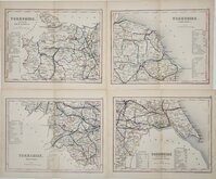
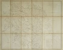
SCARCE SET OF FOUR MAPS FROM THE ROYAL ENGLISH ATLAS.
Set of four maps by Emanuel Bowen and Thomas Kitchin from the Royal English Atlas...London 1777. All from the same issue and in original outline hand colour.
Ref. Whitaker Printed Maps of Yorkshire [248]
The maps are being offered individually under their category headings and FOR THE FULL DESCRIPTION AND IMAGES PLEASE GO TO THE INDIVIDUAL CATEGORY LISTINGS. (The whole of Yorkshire individual map is listed above in this category.)
Until an individual map is sold the set is being offered here at a discounted price.
Quick Links


Yorkshire East Riding

Yorkshire West Riding
×