
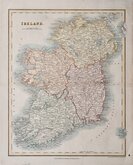
Parts of Ireland & Counties
Whole of Ireland
( Page 2 of 3 )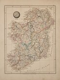
Aaron Arrowsmith 1828
William Pinnock 1834
John Dower 1836
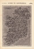
John Tallis 1851
August Petermann 1854
August Petermann 1860
George Swanston 1864
Keith Johnston 1869


35x41 cm
FIRST EDITION
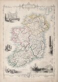
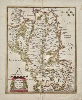
THE KINGDOM of IRELAND by Rob.t Morden.
Sold by Abel Swale Awnsham and John Churchill
Copper engraving produced by Robert Morden for publication in Edmund Gibson's translation of William Camden's Britannia first published by Abel Swalle and Awnsham & John Churchill in 1695. Sutton Nichols and John Sturt have signed some of the maps as engravers but other engravers were also probably employed.
This is the first series of maps to mark longitude in minutes of time (top border) as well as in degrees (bottom border). For most maps, including this Ireland map, longitude is based on the meridian of St. Paul's, London.
The work was republished in 1722, 1730, 1753 and, finally in 1772. The plate was updated for the 1722 edition mostly with changes to place name spellings and was reworked for the 1753 edition due to wear on the plate.
Very good example from the first edition of 1695 in neat later hand colour.
Quick Links

Scotland Maps

Whole of Britain & British Isles
×