
Wales Maps
Whole of Britain & British Isles
( Page 2 of 2 )
G W Bacon British Isles 1910
Richardsons British Isles 1910
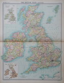
John Bartholomew 1922
John Bartholomew 1922
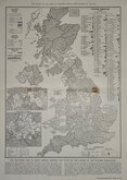
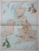
Electoral map 1951
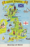
Britain Postcard 1970


20x15 cm
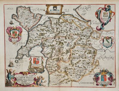
RARE ITALIAN VERSION OF DE LA FEUILLE'S MAP
LE ISOLE BRITANNICHE overro li Regni D'INGHIL TERRA
DI SCOZIA e D'IRLANDA con le Isole dipendenti
Tom 1. Pag.256
Flanked by armorial shields.
Based on a map by Daniel de La Feuille published in Oorlogs Tabletten...Amsterdam 1706. ref: Shirley II p.81.
Rare Italian version, somewhat crudely engraved but with additional place names from another source. From an unidentified publication.
Good condition. Three vertical folds, a small tallow stain on the coat of arms for Mercia.
Quick Links

Scotland Maps

England & Wales
×