
Ordnance Survey Maps
War Issue Maps
( Page 2 of 14 )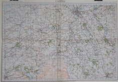
Carlisle 1940
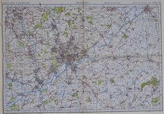
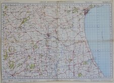
Nottingham 1940
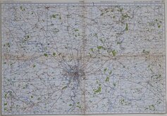
York 1940
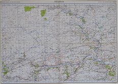
Hexham 1940
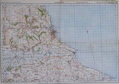
Great Driffield & Bridlington 1940
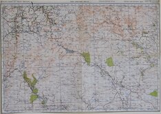
The Cheviot Hills 1940
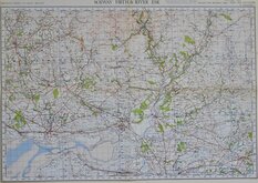
Solway Firth & River Esk 1940
Scarborough 1940

£5
Ordnance Survey War Offfice Ref: osw185
Add to
basket
Thanks,Your Product Has Been Added To Basket

70x50 cm
CARMARTHEN
ORDNANCE SURVEY OF ENGLAND AND WALES
POPULAR EDITION ONE-INCH MAP
WAR REVISION 1940 SHEET 89
(Cardiganshire, Carmarthenshire, & Pembrokeshire.)
Paper. Folded. Trimmed to margins.
Quick Links

Europe

Folding Maps
×