
Sussex Maps
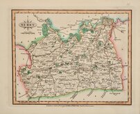
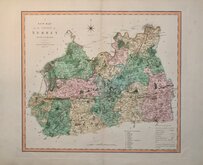
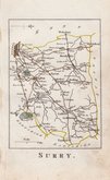
Surrey Maps
( Page 2 of 5 )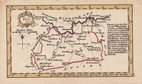
John Gibson 1759
Joseph Ellis 1765 [1773]
Antonio Zatta 1779
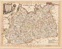
John Haywood 1788
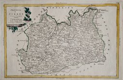
Cadell & Davies 1791
Benjamin Baker 1794 [1806]
Charles Smith 1801
Robert Butters 1803


24x18 cm
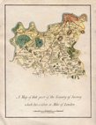
FROM DUGDALE'S CURIOSITIES. ORIGINAL COLOUR.
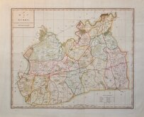
SURREY
Drawn & Engraved by J.Archer, Pentonville, London.
First published in Curiosities of Great Britain, England and Wales Delineated…by Thomas Dugdale by L.Tallis in 1842. The work was re-issued a number of times until 1860. The maps also appeared in The Universal English Dictionary…by the Rev. James Barclay and finally in Tallis's topographical dictionary of England & Wales in 1860.
This example is from the 1845 edition of Dugdales Curiosities in original hand colour.
Quick Links


Middlesex Maps

Kent Maps
×