
Norfolk Maps
Suffolk Maps
( Page 2 of 4 )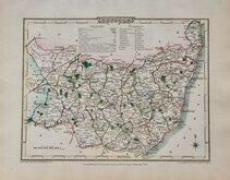
George Cole 1810
Samuel John Neele 1810 [1818]
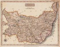
Sidney Hall 1820
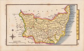
George & John Cary 1822
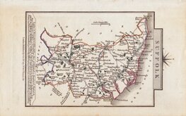
Roger Creighton 1831 [1840]
Selina Hall 1832
Robert Scott 1833 [1845]
Joshua Archer 1834


£40
Thomas Kitchin Robert Dodsley Ref: m6063.3
Add to
basket
Thanks,Your Product Has Been Added To Basket

26x20 cm
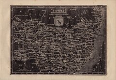
"DUKE OF YORK" SERIES
A New MAP of the COUNTY of SUFFOLK Drawn from the best Authorities: By Tho,,s Kitchin Geog,,r Engraver to H.R.H. the Duke of York.
Copper engraving by Thomas Kitchin published in England Illustrated, or, a compendium of natural history, geography, topography…Robert and James Dodsley 1764.
Thomas Kitchin (1719-1784), one of the foremost engravers of his time, was apprenticed to Emanuel Bowen in 1732 and married his daughter, Sarah, at the end of his apprenticeship in 1739. His works include the map of Scotland by Elphinstone, maps for Geographia Scotiae, the London Magazine and The Large English Atlas working with his father in law.
Robert Dodsley, the publisher of these maps, often known as The Duke of York series after the dedication in the title of each map, took his younger brother, James into partnership in 1755 and together published England Illustrated in December 1763, post-dated 1764.
The work was re-issued in monthly parts early in 1764. Robert Dodsley died on 23rd September but publication of the monthly parts continued until completion on 1st January 1765. The maps appeared once more in 1765 in an atlas publication without text under the title Kitchen's (sic) English Atlas; Or, A Compleat Set of Maps Of All The Counties of England and Wales…By Thomas Kitchen, Geographer to his Royal Highness the Duke of York. London: Printed for J. Dodsley, in Pall-Mall.
Printers crease top right corner and manuscript text verso. This text is contemporary with the map, written with a dip-pen, and lists 17 of the houses of the Nobility in the county. Some of this handwritten ink has penetrated the paper and is visible on the face of the map.
Quick Links

Cambridgeshire Maps

Essex Maps
×