
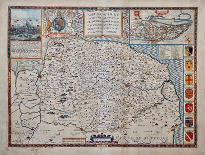
Norfolk Maps
Suffolk Maps
( Page 2 of 4 )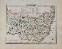
George Cole 1810
Samuel John Neele 1810 [1818]
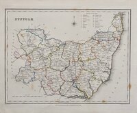
Sidney Hall 1820
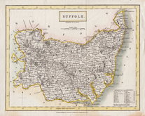
George & John Cary 1822
Roger Creighton 1831 [1840]
Selina Hall 1832
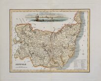
Robert Scott 1833 [1845]
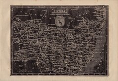
Joshua Archer 1834


23x35 cm
NORFOLK AND SUFFOLK. DECORATIVE BORDER.
Engraved for WALPOOLE’S New & Complete BRITISH TRAVELLER
A New Map of NORFOLK Drawn from the Latest & Best AUTHORITIES.
A New Map of SUFFOLK Drawn from the Latest Authorities.
Published by ALEXR. HOGG at the Kings Arms, No.16 PATERNOSTER ROW.
Copper engraving by Thomas Conder produced for The New and Complete British Traveller …published under the immediate inspection of George Augustus Walpoole, Esq… Alexander Hogg, London, 1784. The publication was a topographical work accompanied by maps engraved one, two, three or four to plate by Thomas Conder. Hogg’s publications were plagiarised works exploiting the growing fashion for travel. George Augustus Walpoole and three other contributors named in the over-long title to the work were probably spurious names invented to impart authority to the work.
This pair of maps, engraved on the same plate, are the first state with the title Walpoole's New and Complete British Traveller at the top of the plate and with a decorative foliate border, published in the first edition of The new British Traveller in 1784.
Very good condition and in good later hand colour.
Ref. Raymond Frostick The Printed Maps of Norfolk [51.1]
Quick Links

Essex Maps

Cambridgeshire Maps
×