
Folding Maps
Quarter inch
( Page 1 of 2 )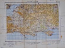
England South 1940
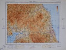
The Border 1940
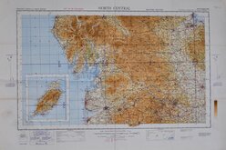
North Central 1940
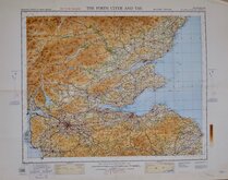
The Forth, Clyde and Tay 1940
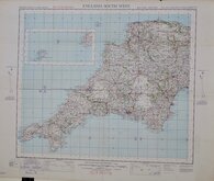
England South West. 1940
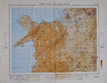
North Wales and Manchester 1940
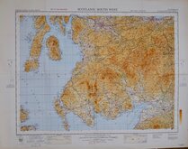
Scotland South West 1940
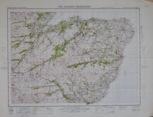
The Eastern Highlands 1942

£8
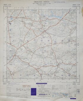
Ordnance Survey War Office Ref: osw1/4.3
Add to
basket
Thanks,Your Product Has Been Added To Basket
Request
Condition Report
ORDNANCE SURVEY OF GREAT BRITAIN
THE FORTH, CLYDE AND TAY
MILITARY EDITION
WAR REVISION 1940
Fourth Edition, SCOTLAND, SHEET 3
G.S.,G.S. NO.3958
Air information correct to 20.11.39.
First published by The Director General, at the ORDNANCE SURVEY OFFICE, SOUTHAMPTON, 1936. with periodical corrected reprints.
Quarter-Inch to One Statute Mile.
Folds. Stamp of Hertford Grammar School.
Quick Links


One inch
Two and a half inch and 1:25000
×