
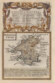
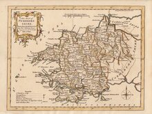
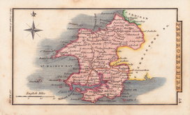
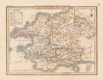
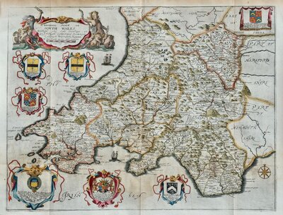
South Wales
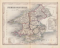
Pembrokeshire
( Page 1 of 1 )

23x18 cm
PEMBROKESHIRE | Drawn & Engraved by J.Archer, Pentonville, London.
Frst published in Curiosities of Great Britain, England and Wales Delineated…by Thomas Dugdale by L. Tallis in 1842. The work was re-issued a number of times until 1860. The maps also appeared in The Universal English Dictionary…by the Rev. James Barclay and finally in Tallis's topographical dictionary of England & Wales in 1860.
Good example from the 1846 edition in original hand colour.
Quick Links
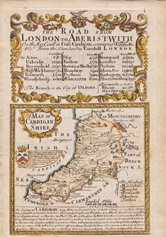
Cardiganshire
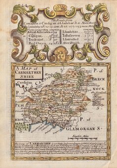
Carmarthenshire
×