
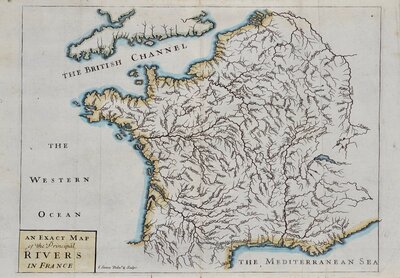
Mediterranean
Parts Regions & Departments of France
( Page 1 of 19 )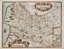
Artois by Ortelius 1587
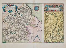
Loire by Ortelius 1587
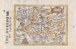
Anjou by Hondius 1637
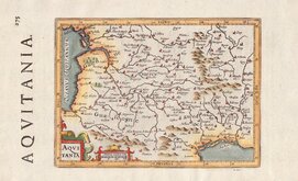
Aquitaine by Hondius 1637
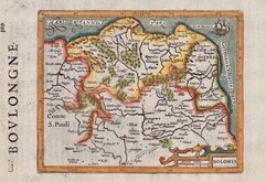
Boulogne by Hondius 1637
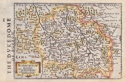
Bourbonnais by Hondius 1637
Champagne by Hondius 1637
L'Isle de France by Hondius 1637


56x40 cm
NOVA PICARDIÆ TABULA
A Amsterdam chez P. Mortier.
First published by Joan (Jan, Johannes) Blaeu (1596-1673) in Theatrum Orbis Terrarum, sive, Atlas Novus, Amsterdam, 1640.
Showing the French regions of Hautes de France (Nord-Pas de Calais & Picardie) and Basse, part of Normandie.
This example, with the imprint of Pieter (Pierre) Mortier (1661-1711) below the title was published in composite atlases by Mortier c.1694.
Waterstains to margins not affecting map and light toning outside the printed edge from an old mount. Some light addition vertical creases. Good margins. Plain verso. A good example of an uncommon late edition in original hand colour.
Quick Links

Whole of France

Whole of Europe
×