
British Isles
Parts of Scotland
( Page 1 of 7 )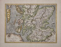
Gerard Mercator 1628
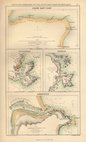
Ports and Harbours 1860
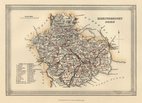
Banff Shire 1860
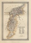
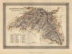
Caithness Shire 1860
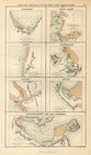
Ports and Harbours 1860
Edinburgh Shire 1860
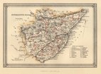
Kincardine Shire 1860
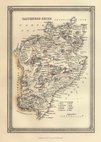
Kirkcudbright Shire 1860


70x50 cm
Large double page map drawn and engraved by John Bartholomew. F.R.G.S. showing Wigtown, KirkudbrightDumfries and Ayr from the Imperial map of England and Wales A. Fullarton & Co. London & Edinburgh 1870.
Repairs to centrefold top and bottom.
Quick Links


Whole of Scotland
British Islands
×