
Environs of London
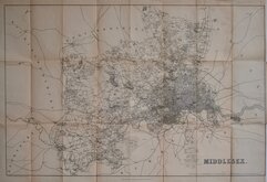
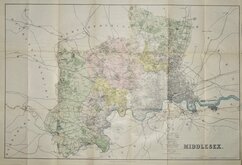
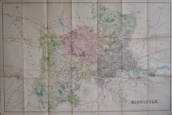
Middlesex Maps
( Page 5 of 5 )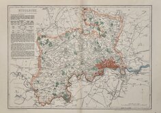
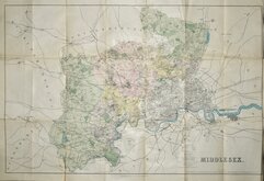
Benjamin Rees Davies 1863 [1867]
Frederick Bryer 1874 [c.1899]
Frederick Bryer 1874 [c.1910]
Frederick Bryer 1874 [c.1914]
Kelly's Directories. 1874 [c.1914]
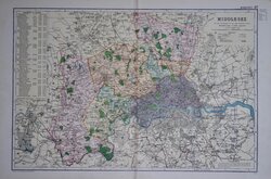
Bacon 1898


46x31 cm
COLOUR PRINTED LITHOGRAPH.
MIDDLESEX
REVISED THROUGHOUT BY THE NEW ORDNANCE SURVEY Divided into 5 mile squares
Bacon's Geographical Establishment.
Lithograph colour printed map from Bacon's Popular Atlas of the British Isles. Colours indicating the Parliamentary divisons and boroughs with a key and population census top left.
Good clean condition.
Quick Links


Hertfordshire Maps

Central London
×