
Far East & India
Middle East
( Page 1 of 6 )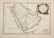
Arabia Jean Lattre 1776
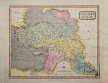
Turkey 1811
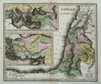
Canaan by Thompson 1820
Arabia Starling 1831
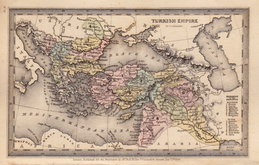
Turkey Starling 1831
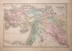
Turkey in Asia by Findlay 1838
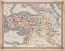
Turkey in Asia A & C Black 1840
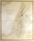
Palestine by Johnston 1843


21x29 cm
THE | COUNTRIES OF THE NILE | AND PART OF ARABIA | Constructed by | Augustus Peterman. F.R.G.S.
Drawn and engraved on steel by John Dower. Published in The Library Atlas of Physical and Political Geography... by WM. S. Orr and Co. London 1854.
Cross section along bottom border showing elevations from the Nile to The Arabian Gulf.
Fine washline hand colour. no centrefold.
Quick Links

Mediterranean

Eastern Europe & Turkey
×