
Mediterranean
Historical Maps
( Page 3 of 10 )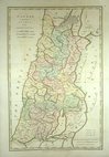
Canaan 1798
Eastern Mediterranean 1800
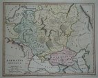
Samartia 1801
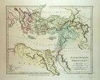
Imperium Parthicum 1807
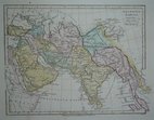
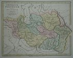
Orientis Tabula 1807
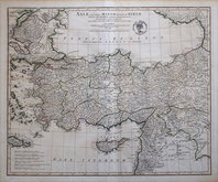
Asia Minor 1821
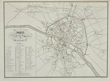
Paris 1824
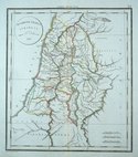
Israel 1825


£20
Ordnance Survey Ordnance Survey Ref: 1756gt
Add to
basket
Thanks,Your Product Has Been Added To Basket
Request
Condition Report
ORDNANCE SURVEY MAP OF SOUTHERN BRITAIN IN THE IRON AGE
SCALE 1:625,000
About Ten Miles to One Inch
Made and published by the
DIRECTOR GENERAL OF THE ORDNANCE SURVEY
CHESSINGTON SURREY 1962
Reprinted with minor changes 1967
Illustrated card cover ( 22x29cm) 55 pages description and charts of Iron age Britain. Fold-out map 1040x84cm.
Very fine condition throughout.
Quick Links

Europe

Road Maps
×