
Mediterranean
Historical Maps
( Page 6 of 10 )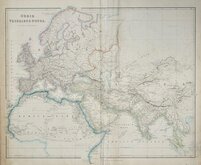
World as known to the Ancients 1842
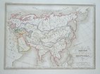
Mongol Empire 1843
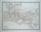
Roman Empire under Constantine 1843
Ancient World by Hughes 1843
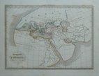
World of Herodotus 1846
Charles Newton Yorkshire 1847
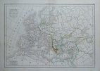
Barbarian Europe 1850
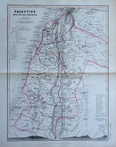
Palestine by Petermann 1850


£20
Ordnance Survey Ordnance Survey Ref: 1758gm
Add to
basket
Thanks,Your Product Has Been Added To Basket
Request
Condition Report
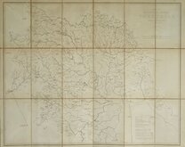
MAP OF MONASTIC BRITAIN (SOUTH SHEET)
SCALE: 1:625,000
Printed and Published by the Director-General of the ORDNANCE SURVEY, CHESSINGTON, SURBITON, SURREY 1954
Printed card covers. Title | Foreword | 8pp. Description. | 16pp. Index to South Sheet. | Linen backed fold-out map.
Covers chipped and front cover splitting from spine now repaired with archival tape inside cover. Booklet detatched (stapled binding). Linen backed map in fine condition.
Quick Links

Europe

Road Maps
×