
Road Maps
Historical Maps
( Page 7 of 10 )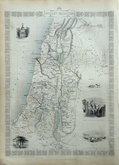
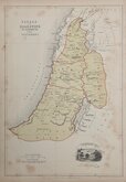
Ancient Palestine by Rapkin 1851
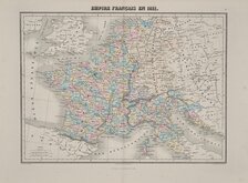
French Empire 1854
Travels of David Roberts 1855
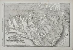
Seige of Sevastopol. Crimea 1855
Canaan or Palestine 1861
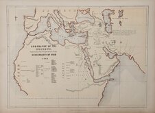
Geography of the Hebrews 1861
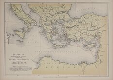
Journeys of Paul 1861
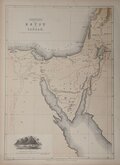
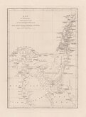
Egypt and Canaan 1861


31x23 cm
CARTE | DES GAULES | DIVISÉE | en Provinces Romaines | et comprenant | les Conquêtes des Francs | LES POSSESSIONS DES VISIGOTHS | celles des Ostregoths | ET LE ROUYAME DES BOURGUIGNONS | jusqu'au commencement | DU VI.E SIÈCLE.
France divided into Roman Provinces, the conquests of the Franks, possessions of the Visigoths and Ostregoths and the Kingdom of the Bourguignons at the begining of the 6th century.
Steel engraving by Thierry published in Precis de la Geographie Universelle...by Malte-Brun.
Fine example in original hand colour.
Quick Links

Europe

Mediterranean
×