
Essex Maps
Hertfordshire Maps
( Page 9 of 11 )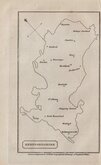
William Cobbett 1832
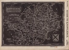
Joshua Archer 1833
Robert Gray 1833 [c.1840]
Christopher & John Greenwood 1834
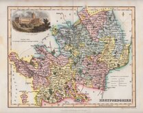
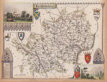
Thomas Moule 1837
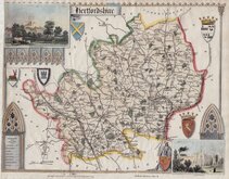
Thomas Moule 1837
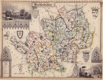
Thomas Moule 1837 [c.1845]
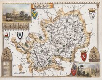
Thomas Moule 1837 [c.1845]


20x16 cm
HERTFORDSHIRE
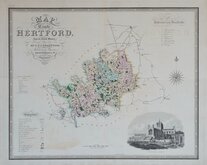
Closely based on Herman Moll's maps of 1724, Thomas Read, printer & publisher first issued the maps in The English Traveller…, at weekly intervals from 26th November 1743 to 1st September 1744. The speed of production would have necessitated the employment of several engravers but none have been identified. Hertfordshire appeared in the issue for 24th March 1744.
The three volume complete work, containing all the maps,was first issued in 1746.
On the death or retirement of Thomas Read, the maps passed into the hands of Huguenot John Rocque who published them with a further 19 maps, probably also prepared by Read, and with revisions to most maps, in The Small British Atlas… from 1753 to 1764 and in England Displayed… in 1769 and 1770.
This example has no plate number but traces of plate number 24 remain which identifies it as the third state of the plate published in The small British atlas by John Rocque in 1753.
Good clean example in good hand colour.
ref. Hodson Printed Maps of Hertfordshire. 31(iii)
Quick Links


Hertfordshire Prints

Middlesex Maps
×