
Essex Maps
Hertfordshire Maps
( Page 9 of 11 )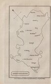
William Cobbett 1832
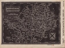
Joshua Archer 1833
Robert Gray 1833 [c.1840]
Christopher & John Greenwood 1834
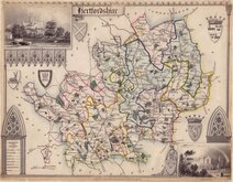
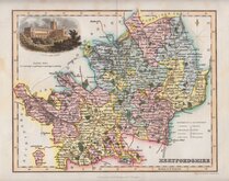
Thomas Moule 1837
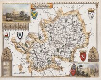
Thomas Moule 1837
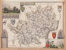
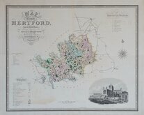
Thomas Moule 1837 [c.1845]
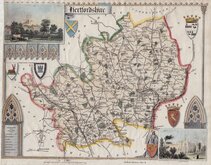
Thomas Moule 1837 [c.1845]


112x86 cm
LARGE TOPOGRAPHICAL LINEN BACKED WALL MAP
PHILIPS' NEW MAP OF HERTFORDSHIRE
GEORGE PHILIP & SON, LTD. | LONDON GEOGRAPHICAL INSTITUTE.
Printed colour showing elevation above sea level.
Large unfolded linen backed wall map.
Scale: 1" to a mile.
No date.
Some general creasing and some closed tears at edges. The linen back is undamaged so is probably a later backing, but generally good condition for a large wall map.
Quick Links


Middlesex Maps

Hertfordshire Prints
×