
Scotland Maps
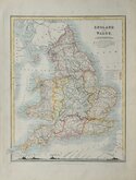
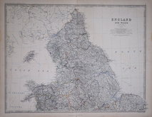
England & Wales
( Page 4 of 5 )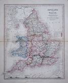
August Petermann 1850
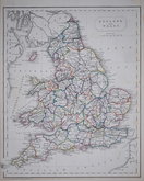
Francis Paul Becker 1850
August Petermann 1854
W & A K Johnston 1861
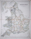
George Herriot Swanston 1862
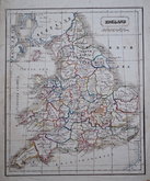
Anonymous 1880
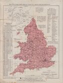
Stanford Ordnance Survey Index 1890
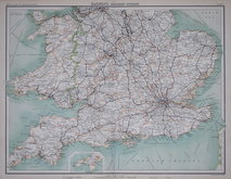
John Bartholomew 1897


20x27 cm
INDEX to the ORDNANCE SURVEY of ENGLAND AND WALES. on the Scale of One Inch to a Mile.
LONDON EDWARD STANFORD 55 CHARING CROSS
No date. c. 1890
Folds with splits into map at left edge repaired archival tape verso.
Quick Links


Whole of Britain & British Isles
Wales Maps
×