
Scotland Maps
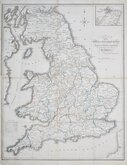
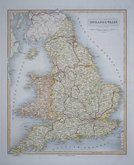
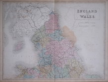
England & Wales
( Page 3 of 5 )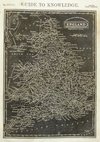
Joshua Archer 1833
William Swire 1836

Robert Seaton 1838
Joshua Archer 1842
Alexander Keith Johnston 1843
John & Charles Walker 1843
Sidney Hall 1844
Joshua Archer 1846

Request
Condition Report
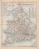
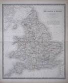
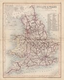
RAILWAYS, NORTHERN DIVISION
RAILWAYS, SOUTHERN DIVISION
Pair of double page colour lithograph printed maps of the Railways of England and Wales and Part of Scotland published in The Royal Atlas of England and Wales by John Bartholomew Edinburgh 1897.
Each map measures 43cm x 33cm.
Sold as a pair of maps.
Quick Links


Whole of Britain & British Isles
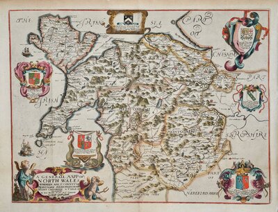
Wales Maps
×