
Whole of Britain & British Isles
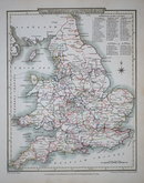
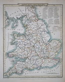
England & Wales
( Page 1 of 5 )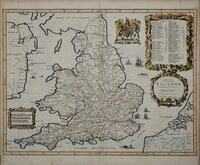
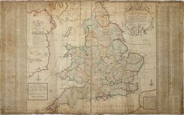
John Ogilby 1676

Saxon Heptarchy Robert Morden 1695
Robert Morden 1695
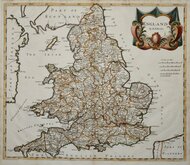
Herman Moll 1725
Thomas Kitchin 1763
John Cary 1809
John Roper 1809
John Roper 1809


19x24 cm
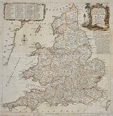
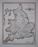
ENGLAND & WALES | Drawn & Engraved by J. Archer, Pentonville, London.
First published in Curiosities of Great Britain, England and Wales Delineated...by Thomas Dugdale in 1842. The work was re-issued several times until 1860, the maps also appearing in The Universal English Dictionary...by The Rev. James Barclay and Tallis's Topographical Dictionary of England & Wales.
Good example in original hand colour showing the 52 counties of England and Wales.
Quick Links


Scotland Maps
Wales Maps
×