
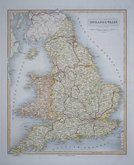
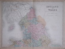
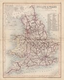
Wales Maps
England & Wales
( Page 3 of 5 )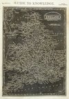
Joshua Archer 1833
William Swire 1836

Robert Seaton 1838
Joshua Archer 1842
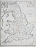
Alexander Keith Johnston 1843
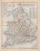
John & Charles Walker 1843
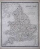
Sidney Hall 1844
Joshua Archer 1846


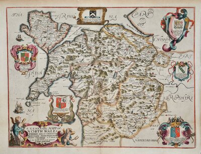
21x25 cm
Hand drawn and coloured map by an anonymous amateur hand c.1880
Repaired tears to left edge including repair to small loss to border top corner. A little creased.
Quick Links

Scotland Maps

Whole of Britain & British Isles
×