
Lancashire Maps
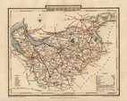
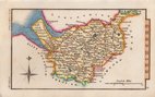
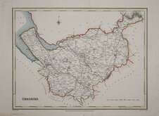
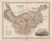
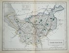
Cheshire Maps
( Page 2 of 3 )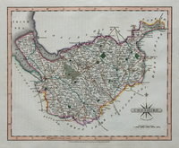
John Cary 1808 [1809]
George Cole 1810
Samuel John Neele 1812 [1819]
Hall, Sidney 1820
George & John Cary 1822
Roger Creighton 1831
Robert Scott 1833 [1845]
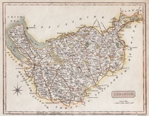
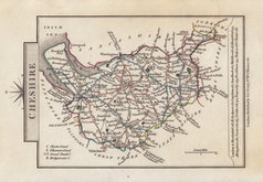
Sidney Hall 1833 [1852]


12x7 cm
COLOURFUL MINIATURE MAP
CHESHIRE
Pub. by S.Leigh 18.Strand. | Sidy.Hall sculpt.
Miniature map engraved by Sidney Hall and first published in Leigh's New Pocket Atlas of England and Wales in 1820. The little atlas was popular running to ten editions until the final editions in 1842 & 3 published by George Biggs.
Fine hand coloured example from the first edition.
Quick Links


Staffordshire Maps

Road Maps
×