
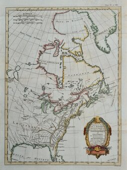
North America
Africa
( Page 1 of 9 )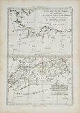
Morocco Algiers Tunis & Tripoli 1787
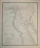
Egypt by Johnston 1843
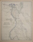
Egypt and Arabia by Johnston 1869
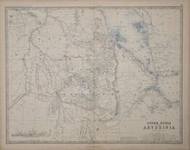
Ethiopia by Johnston 1869
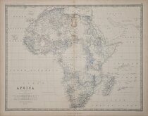
W & A K Johnston 1869
North West and South by Johnston 1869
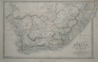
South Africa by Johnston 1893
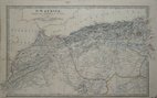
North West Africa Johnston 1893


£20
John Bartholomew T Nelson Ref: 5998.70
Add to
basket
Thanks,Your Product Has Been Added To Basket

24x33 cm
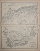
SOUTH AFRICA and CAPE COLONY
Colour printed lithograph by John Bartholomew & Co. published in The English Imperial Atlas and Gazetteer of the World By J. G. Bartholomew, F.R.S.E., F.R.G.S. London T. Nelson & Sons, Paternoster Row Edinburgh and New York (1892)
South Africa map has inset map of the environs of Cape Town.
Map of North America printed verso and on adjacent page.
Note: The North America maps are listed separately under north America category, price is for the three printed maps.
Quick Links

South America
Australasia & Pacific
×