
North America
Africa
( Page 1 of 9 )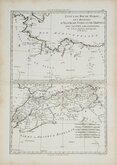
Morocco Algiers Tunis & Tripoli 1787
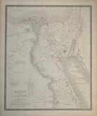
Egypt by Johnston 1843
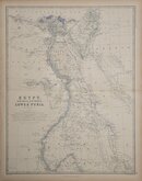
Egypt and Arabia by Johnston 1869
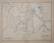
Ethiopia by Johnston 1869
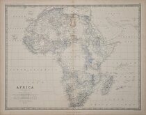
W & A K Johnston 1869
North West and South by Johnston 1869
South Africa by Johnston 1893
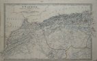
North West Africa Johnston 1893

£30
J Rapkin Montgomery Martin Ref: 3596gt
Add to
basket
Thanks,Your Product Has Been Added To Basket

33x26 cm
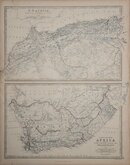
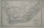
Cape Colony
Drawn and engraved on steel by J. Rapkin, this series of maps were first issued in parts from the end of the 1840's and published in The Illustrated Atlas in 1851. The work was re-issued a number of times until about 1865 and the maps were then used by Montgomery Martin, the author of the text in The Illustrated Atlas, in his British Colonies from 1854. The final appearance of the maps, with vignettes erased from the plate, was in geographical dictionaries and encyclopaedias until about 1880.
This map of Cape Colony is from the later geographical dictionaries with the vignettes erased from the plate.
Quick Links
Australasia & Pacific

South America
×