
Folding Maps
War Issue Maps
( Page 1 of 14 )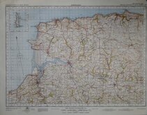
Barnstaple 1841
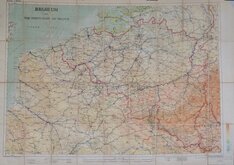
Belgium 1910
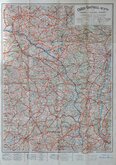
Vosges - Alsace 1918
New Forest 1931
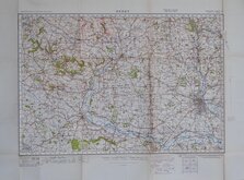
Derby 1932
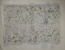
Worcester 1932
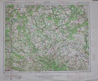
Plzen 1939
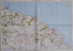
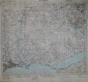
Whitby & Saltburn 1940


70x50 cm
WATFORD
ORDNANCE SURVEY OF ENGLAND AND WALES.
5TH EDITION STYLE
SECOND WAR REVISION 1940
SHEET 106
Paper. Folded. Trimmed to margins
Quick Links


Ordnance Survey Maps

Europe
×