
Ordnance Survey Maps
War Issue Maps
( Page 1 of 14 )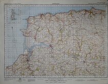
Barnstaple 1841
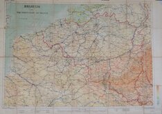
Belgium 1910
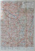
Vosges - Alsace 1918
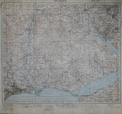
New Forest 1931
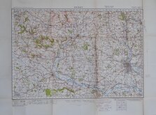
Derby 1932
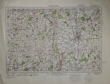
Worcester 1932
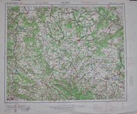
Plzen 1939
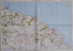
Whitby & Saltburn 1940


100x66 cm
STRAIT OF DOVER
ORDNANCE SURVEY OF GREAT BRITAIN (Aeronautical Map) 1:5000,000 R.A.F. (WAR)
AREAS DANGEROUS TO FLYING ARE NOT SHOWN ON THIS SHEET
FOURTH EDITION SHEET 8
Linen backed. Folds.
Quick Links


Europe

Folding Maps
×