
Folding Maps
War Issue Maps
( Page 1 of 14 )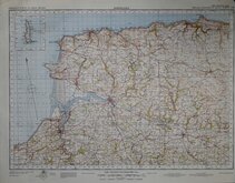
Barnstaple 1841
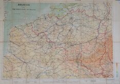
Belgium 1910
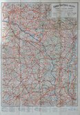
Vosges - Alsace 1918
New Forest 1931
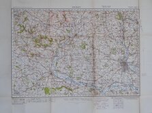
Derby 1932
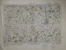
Worcester 1932
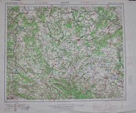
Plzen 1939
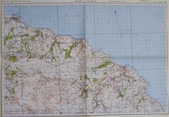
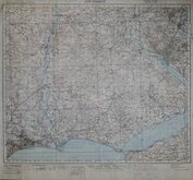
Whitby & Saltburn 1940


70x48 cm
(Port Talbot)
(ORDNANCE SURVEY OF ENGLAND AND WALES.
POPULAR EDITION ONE-INCH MAP
WAR REVISION 1940
SHEET 101)
Linen Backed. Trimmed to margins including loss of titles.
Quick Links


Ordnance Survey Maps

Europe
×