
Europe
War Issue Maps
( Page 1 of 14 )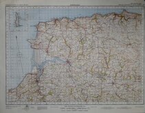
Barnstaple 1841
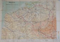
Belgium 1910
Vosges - Alsace 1918
New Forest 1931
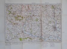
Derby 1932
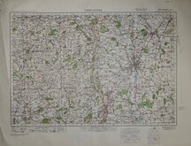
Worcester 1932
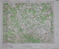
Plzen 1939
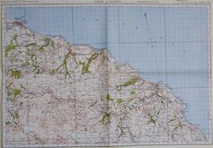
Whitby & Saltburn 1940

£8 North Wales and Manchester
Ref: osw1/4.4
Add to
basket
Thanks,Your Product Has Been Added To Basket

96x76 cm
NORTH WALES AND MANCHESTER
ORDNANCE SURVEY OF GREAT BRITAIN
NOT TO BE PUBLISHED
MILITARY EDITION
WAR REVISION 1940
Fourth Edition. ENGLAND & WALES, SHEET 4
Air information correct to 20.11.39
Quarter-Inch to One Statute Mile.
Linen Backed. Folds. Hertford Grammar School Stamp.
Quick Links


Ordnance Survey Maps

Folding Maps
×