
Ordnance Survey Maps
War Issue Maps
( Page 1 of 14 )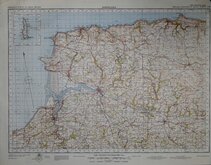
Barnstaple 1841
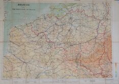
Belgium 1910
Vosges - Alsace 1918
New Forest 1931
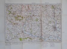
Derby 1932
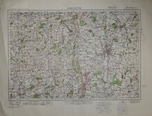
Worcester 1932
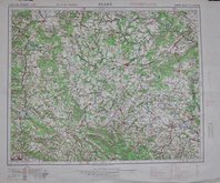
Plzen 1939
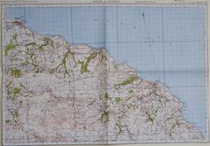
Whitby & Saltburn 1940


77x60 cm
FRANKFURT
1:500,000 EUROPE (AIR)
NORTHERN ZONE LAYER SYSTEM
(LAYER STEPS CORRESPOND TO THOSE ON THE R.A.F. SIGN CARD)
N.E.50/6
Geographical Section, General Staff, No. 4072
Projection Europe (Air) Conical Orthomorphic (Central Zone)
Compiled and drawn at War Office, 1940. Heliographed at Ordnance Survey, 1940.
Linen backed. Folds.
Quick Links


Europe

Folding Maps
×