
Europe
War Issue Maps
( Page 1 of 14 )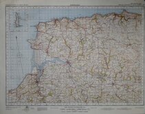
Barnstaple 1841
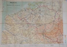
Belgium 1910
Vosges - Alsace 1918
New Forest 1931
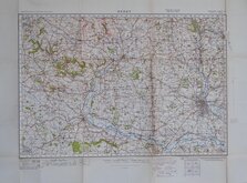
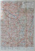
Derby 1932
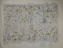
Worcester 1932
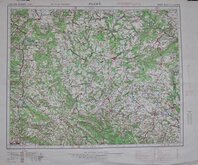
Plzen 1939
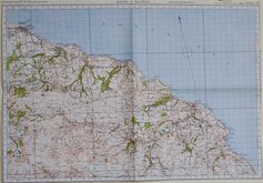
Whitby & Saltburn 1940

£20 England, South East and London
Ref: osw189
Add to
basket
Thanks,Your Product Has Been Added To Basket

88x60 cm
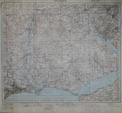
ENGLAND, SOUTH EAST AND LONDON
ORDNANCE SURVEY OF GREAT BRITAIN
AREAS DANGEROUS TO FLYING ARE NOT INDICATED ON THIS SHEET
¼-INCH TO ONE MILE, ENGLAND & WALES,
AIR SHEET 12
Geographical Section, No. 3957 (AIR)
Published at the War Office, 1942
Linen backed folding map (not segmented).
A little wear at folds with 6cm split at central fold left edge.
Stamp for Hertford Grammar School bottom right corner.
Quick Links


Folding Maps

Ordnance Survey Maps
×