
Six Inch scale
Twenty five Inch scale
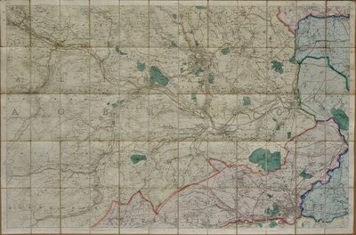
( Page 13 of 15 )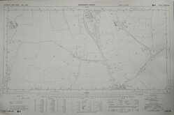
Nazeing Essex 1973
Watford Abbots Langley Herts 1973
Hemel Hempstead Herts 1973
Great Amwell Herts 1973
Flaunden Herts 1973
Haultwick Herts 1974
Green End Ware Herts 1974
Piccotts End Hemel Hempstead 1974


88x58 cm
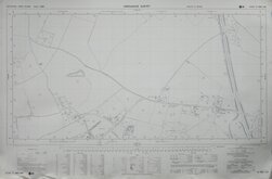
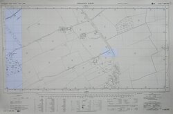
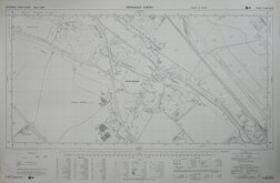
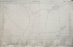
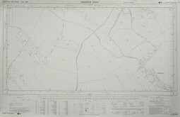
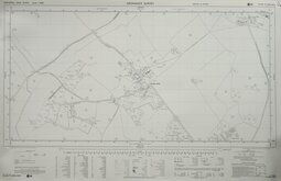
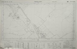
ORDNANCE SURVEY
NATIONAL GRID PLANS Scale 1:2500
PLAN TL3804-3904
Made and published by the Director General of the Ordnance Survey, Southampton.
Reconstituted from former County Series plans and revised Mar 1972
Showing Lower Nazeing, St Leonards Road, St Leonards Farm, Colemans Lane, Denver Lodge Farm, Langridge.
Unfolded, very good condition.
Quick Links
×