
Six Inch scale
Twenty five Inch scale
( Page 1 of 15 )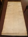
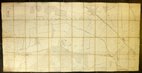
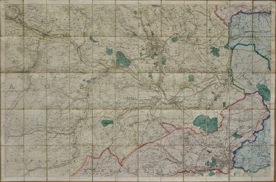
Hertford Area 1880
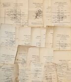
Parish Index Maps Hertfordshire 1880
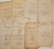
Parish Index Sheets Essex 1880
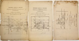
Parish Index Sheets Middlesex 1880
Enfield Chase 1885
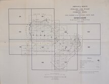
Denbighshire O S Index 1891
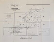
Caernarfonshire O S Index 1897
Bayfordbury Herts 1898


88x58 cm
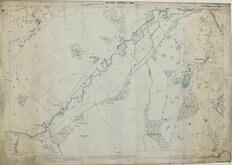
ORDNANCE SURVEY
NATIONAL GRID PLANS Scale 1:2500
PLAN TL3407-3507
Made and published by the Director General of the Ordnance Survey, Southampton.
Reconstituted from former County Series plans and revised June 1972.
Showing Broxbournebury, Danemead, Ermine Street, Hoddesdonbury, Broxbourne Common.
Unfolded, very good condition.
Quick Links
×