
Shropshire Maps
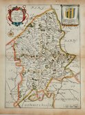
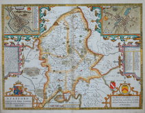
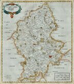
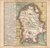
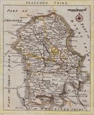
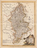
Staffordshire Maps
( Page 1 of 4 )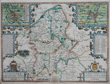
John Speed 1627
Richard Blome 1673
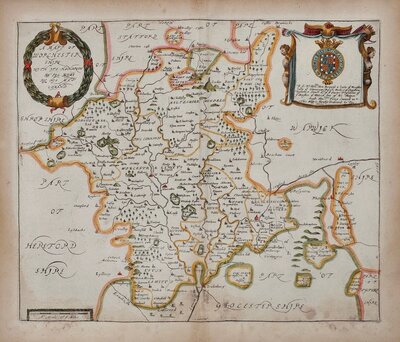
John Speed 1676
Robert Morden 1695
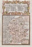
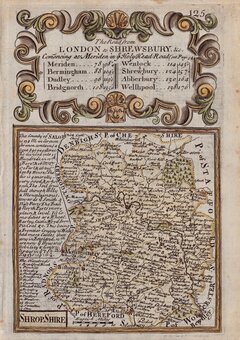
Emanuel Bowen 1720
Thomas Badeslade 1741
Thomas Read 1769
Joseph Ellis 1773


17x23 cm
No. LII] GUIDE TO KNOWLEDGE. PRICE ONE PENNY. | STAFFORDSHIRE | Engraved by S. Hall. | Pubd. by W Edwards, Ave Maria Lane.
Woodblock engraved map by Sidney Hall. The woodblock was inked with a roller without working the ink into the engraved cuts thereby printing with a white line on a black ground. Published in parts by W. Edwards in The Guide to Knowledge edited by W Pinnock in 1833 (Bedforshire appearing 23rd March). The printing method was not popular for topographic maps and was not used again for English county maps. The woodblocks were later published by Thomas Johnson printed more conventionally by lithographic transfer in his rare publication Johnson's Atlas of England in 1847 & 1863.
Some fraying and nicks and stitch holes to paper edges but the map is in good condition.overall.
Quick Links
Worcestershire Maps

Derbyshire Maps
×