
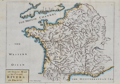
Whole of France
Spain & Portugal
( Page 1 of 4 )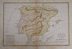
Spain & Portugal. Bonne 1787
Spain & Portugal. Anonymous. 1800
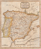
Spain & Portugal. Russell 1801
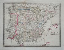
Spain & Portugal. Barclay 1808
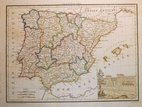
Spain & Portugal. Giraldon 1812
Spain & Portugal. Thomson 1820
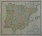
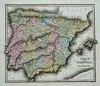
Spain & Portugal. Sidney Hall 1826
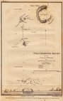
Columbretes Rocks. Captain Smyth 1831

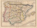
£30 Spain & Portugal. Johnston
Ref: a6036.11
Add to
basket
Thanks,Your Product Has Been Added To Basket

59x45 cm
SPAIN & PORTUGAL | BY KEITH JOHNSTON. F.R.S.E.
Large lithographic printed map published in The Royal Atlas Of Modern Geography Exhibiting, in a series of entirely original and authentic maps, the present condition of geographical discovery and research in the several countries, empires, and states of the World by Alexander Keith Johnston geographer to the Queen for Scotland...William Blackwood & Sons Edinburgh and London MDCCCLXIX.
Overprinted in blue indicating rivers and lakes and hand coloured in line and wash indicating political boundaries.
A finely engraved map in very good condition.
Quick Links

Whole of Europe
Italy
×