
Scotland Maps
Northumberland Maps
( Page 4 of 4 )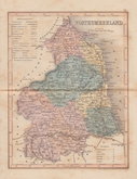
Joshua Archer 1842 [1858]
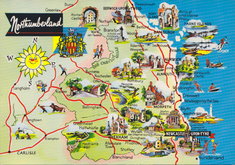
Northumberland Map Postcard 1965
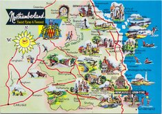
Northumberland Map Postcard 1965
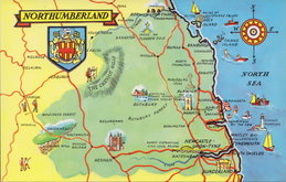
Northumberland Map Postcard 1990


18x23 cm
UNCOMMON. FIRST MAGAZINE ISSUE.
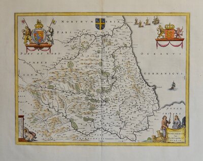
NORTHUMBERLAND
Engraved by B.Baker, Islington.
Benjamin Baker is known for engraving the earliest maps for the Ordnance Survey. His first published work was this series of county maps produced from 1792 for the early issues of the monthly publication, The Universal Magazine of Knowledge and Pleasure published by John Hinton. The maps appeared in a single issue and did not appear again until the firm of Laurie & Whittle acquired the plates, publishing them in Laurie & Whittle's New and Improved English Atlas in 1807. A number of alterations and additions to the plates were carried out for this work, notably including a compass rose behind the title, in the style of Cary, and the imprint, Laurie & Whittle, outside the bottom border. The work was republished in 1816 and some rare examples of loose maps and later publications have been found, indicating later issues in 1821 and 1846.
Very good hand coloured example from the first issue published in The Universal Magazine of Knowledge and Pleasure in 1793.
Ref. Whitaker Maps of Northumberland 288
Quick Links


Cumberland Maps
Durham Maps
×