
Scotland Maps
Northumberland Maps
( Page 4 of 4 )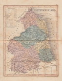
Joshua Archer 1842 [1858]
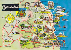
Northumberland Map Postcard 1965
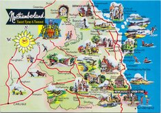
Northumberland Map Postcard 1965
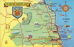
Northumberland Map Postcard 1990


36x43 cm
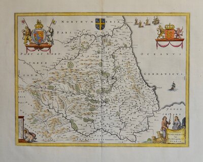
FIRST MAP OF THE COUNTY TO SHOW LONGITUDW FROM LONDON AND IN DEGREES AN LOCAL TIME.
NORTHUMBERLAND by Robt. Morden
Sold by {Abel Swale Awnsham & Iohn Churchil.
Copper engraving produced by Robert Morden for publication in Edmund Gibson's translation of William Camden's Britannia first published by Abel Swalle and Awnsham & John Churchill in 1695. This is the first series of maps to mark longitude in minutes of time (top border) as well as in degrees (bottom border). For most counties longitude is based on the meridian of St. Paul's, London.
The work was republished in 1722, 1730, 1753 and, finally in 1772. There were a number of minor alterations to most plates during the early editions and they were substantially updated for the 1722 edition mostly with changes to place name spellings. Due to wear on the plates they were reworked for the 1753 edition.
Good example in fine hand colour from the 1753 edition.
Ref. Whitaker Maps of Northumberland 215
Quick Links

Durham Maps

Cumberland Maps
×