
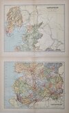

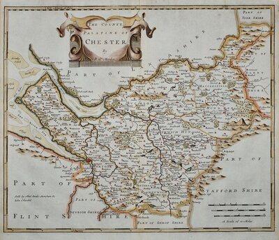
Cheshire Maps
Lancashire Maps
( Page 3 of 3 )

37x52 cm
"STOCKDALE CARY"
A MAP of LANCASHIRE from the best AUTHORITIES
Published by John Stockdale Piccadilly 26th March 1805.
Engraved by J.Cary.
Copper engraving by John Cary first published in parts by T. Payne & Son,and G.G.J. & J. Robinson in Richard Gough's translation of William Camden's Britannia from 1789. Following the death of Payne, the Robinson family sold the plates and publication rights to John Stockdale. Richard Gough ceased working on the project and Stockdale completed the editorial work himself, expanding the work to four folio volumes and publishing them in 1806. Stockdale also used the plates in his New British Atlas from 1805 to 1809.
Stockdale edition dated March 1805. Line and wash hand colour. Folds as issued.
Some offsetting; a faint mirror image of the printed engraved line caused by evaporation from the ink when the map was folded before the ink was completely dry, showing on this map mainly in the blank area of Yorkshire. Archival tape repair verso to nick at lower border.
Quick Links

Yorkshire Maps

Westmorland Maps
×